Printable template
Geography Fieldwork Recording Sheet
Blank observation and sketch frame.
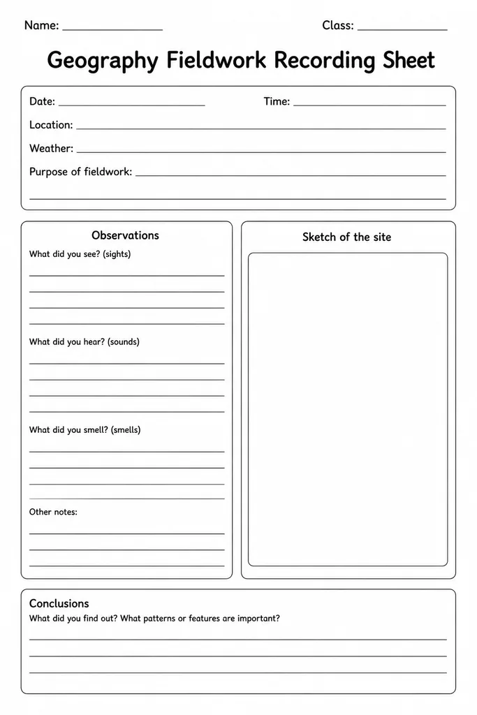
The Geography Fieldwork Recording Sheet is a blank observation and sketch frame designed for students in grades 3–8 who are heading outside the classroom to study the real world. It provides dedicated sections to note a location, date, weather conditions, field observations, labelled sketches, and key measurements—everything a young geographer needs in a single portable page. Teachers use it to structure site visits, river studies, urban surveys, or coastal walks, ensuring every student collects consistent data that can be compared back in class. Because it is completely blank, it adapts equally well to a local park, a school grounds microhabitat, or a neighbourhood land-use survey. Its grid-lined sketch box encourages careful observational drawing, while the lined note columns keep written records tidy under exam-style headings.
Learning objectives
- Practise systematic field observation and data collection
- Develop sketch-mapping and labelling skills
- Record environmental conditions accurately using standard categories
- Connect first-hand evidence to classroom geographic concepts
- Build scientific note-taking habits for future fieldwork
How to use this template
- Download and print one sheet per student before the fieldwork trip.
- As a class, agree on what headings each section will contain—location name, grid reference, weather, observations—then students fill in the top band on arrival.
- Students use the sketch box to draw what they see, adding labels and a compass rose or scale bar.
- Written observation columns capture measurements, counts, or descriptive notes in real time.
- Back in the classroom, students compare sheets, discuss patterns, and use the data as evidence in their written geography reports.
Classroom & home ideas
- School grounds microhabitat survey—compare shaded vs sunny areas for plant diversity
- Local river or stream study recording channel width, depth estimates, and bank vegetation
- Urban land-use walk where students sketch streetscapes and categorise building types
- Weather station visit with students recording wind direction, cloud cover, and temperature
- Before-and-after seasonal comparison across two field trips to the same site
Skills practised
Frequently asked questions
Is this suitable for primary as well as secondary students?
Yes. For grades 3–4 the teacher can pre-fill the section headings; older students in grades 7–8 can design their own column headers to match a specific investigation brief.
Can I use it for indoor geography tasks, not just outdoor fieldwork?
Absolutely. The sketch frame works well for annotating maps or photographs, and the observation columns suit analysing data tables or OS map extracts in the classroom.
How many sheets should I print per trip?
One per student per site stop is standard. For a multi-stop route, print two or three sheets per student and staple them into a field booklet.
Does it align with national geography curricula?
The template reflects fieldwork enquiry skills common to US NCSS standards, UK Key Stage 2–3 geography, and the Australian Curriculum HASS strand, making it broadly cross-curricular.
Likes & comments
See what other teachers think and share a helpful note.
Create more worksheets in our Worksheet Studio
Generate fresh worksheets for any grade, topic, and language — free.
Open the Worksheet StudioRelated worksheets
History Timeline Template
Make-Your-Own Map Grid
Needs vs Wants Sort
Oral-History Interview Template
Country Fact File
Timeline of My Life
Blank World Map