Printable template
Blank World Map
Outline world map to label.

The Blank World Map is a clean outline projection of all seven continents and major oceans, printed without any country names, borders, or labels — a true blank canvas for geography activities at every level. Students in grades 2–8 use it to practise locating and naming countries, colouring climate zones, plotting trade routes, marking historical empires, or annotating physical features such as mountain ranges and rivers. Because no information is pre-filled, each print encourages active retrieval rather than passive reading. Teachers reach for it in social studies, history, and even science units — mapping biomes, migration patterns, or tectonic plates onto the same familiar outline. Parents homeschooling younger children use it as an ongoing geography game, asking students to add one new country or capital city each week until the entire map is labelled.
Learning objectives
- Identify and label the seven continents and five major oceans
- Locate and name countries, capitals, and regions from memory or research
- Visualise the spatial relationships between geographic features
- Practise thematic mapping by colour-coding climate zones, biomes, or political regions
- Support cross-curricular connections across history, science, and social studies
- Develop global awareness and geographic literacy
How to use this template
- Download and print the blank outline map on standard letter or A4 paper — or scale up to A3 for a wall display.
- Decide on the focus of the activity: continent labelling, country colouring, trade-route plotting, or thematic annotation.
- Use an atlas, textbook, or teacher-approved website to look up and verify locations before writing directly on the map.
- Colour distinct regions or countries using a pencil, crayon, or marker, and add a legend in the corner to explain the colour coding.
- Laminate a completed reference copy so students can reuse blank prints for different map tasks across the school year.
Classroom & home ideas
- Weekly geography challenge: each Monday a new region is revealed; students have one week to label every country inside it on a fresh blank map.
- Climate zone colouring: students colour tropical, temperate, arid, polar, and Mediterranean zones in five colours and add a legend — connecting geography to science.
- Historical empires overlay: students shade the extent of the Roman, British, or Mongol empire and discuss why certain geographic features formed natural borders.
- Current events tracker: whenever a news story references a country, students pin or circle it on a class display map to build geopolitical awareness.
- Flat map vs globe comparison: students use a globe to identify distortion in the printed map projection — an introduction to map scale and Mercator bias.
Skills practised
Frequently asked questions
Does the blank world map include country borders or only continent outlines?
The standard version shows continent outlines and major coastlines only, with no internal country borders — ideal for labelling exercises where students draw in borders themselves. A lightly bordered version with visible but unlabelled country outlines is also available.
What map projection does the template use?
The template uses an equirectangular (plate carrée) projection, which is the most common choice for classroom outline maps because continent shapes and relative positions are easy for students to recognise from their textbooks.
Is the outline detailed enough to show island nations?
Major island nations such as Japan, Indonesia, Madagascar, the Caribbean, and New Zealand are clearly included. Very small island states (e.g. Maldives, Palau) are not individually visible at this scale but their general ocean regions are marked.
Can I use this map for a science class, not just social studies?
Yes — it is widely used in science for mapping biomes, climate zones, tectonic plate boundaries, ocean current patterns, and the migration routes of animals or early humans, making it one of the most versatile templates in the collection.
Likes & comments
See what other teachers think and share a helpful note.
Create more worksheets in our Worksheet Studio
Generate fresh worksheets for any grade, topic, and language — free.
Open the Worksheet StudioRelated worksheets
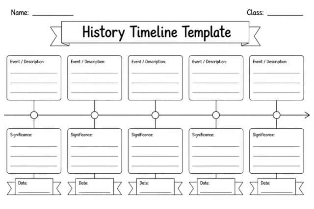
History Timeline Template
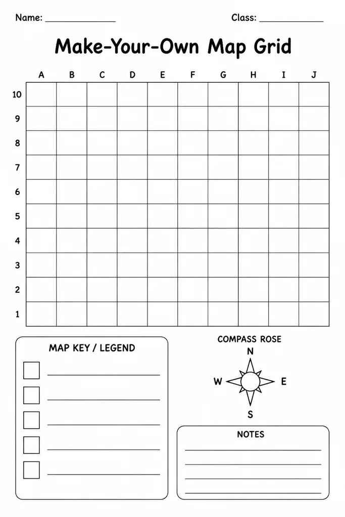
Make-Your-Own Map Grid
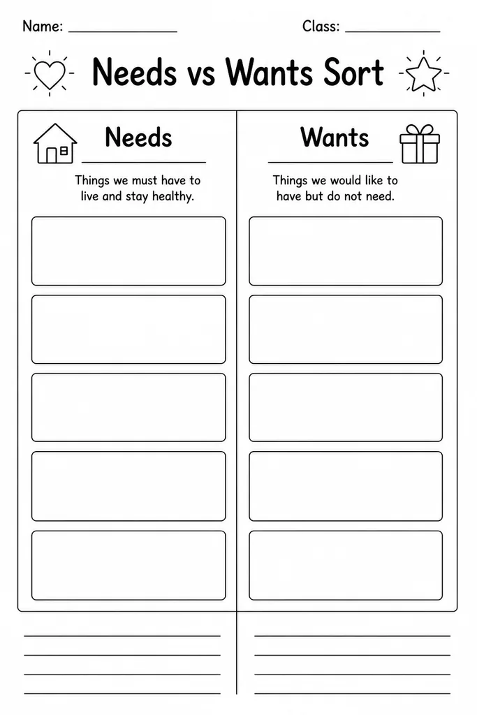
Needs vs Wants Sort
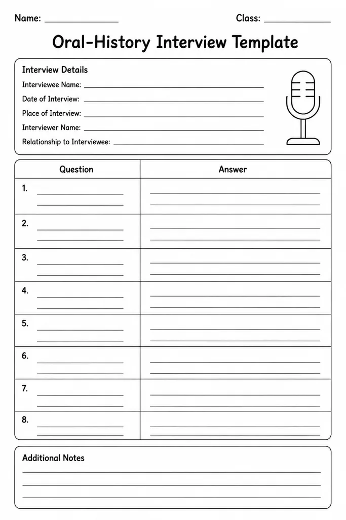
Oral-History Interview Template
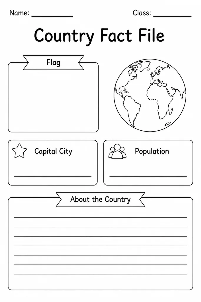
Country Fact File
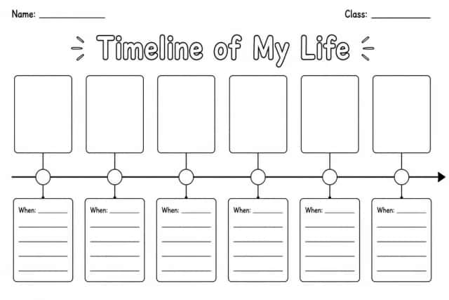
Timeline of My Life
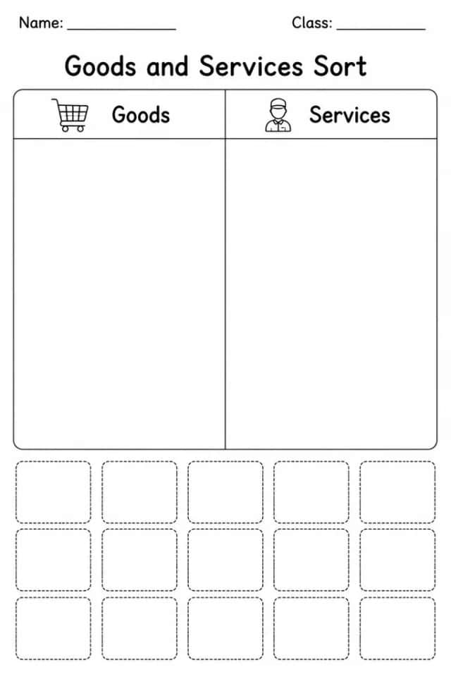
Goods and Services Sort