Printable template
Continents and Oceans (Blank)
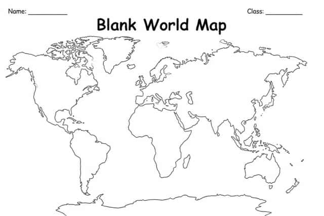
Map to label oceans and continents.
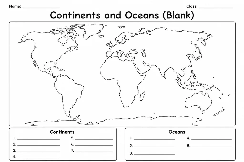
The Continents and Oceans (Blank) template is a clean outline world map with the seven continents and five oceans clearly shaped but unlabelled, giving students a ready surface for identification and labelling practice. Suited to grades 2 through 6, it removes the clutter of country borders and city names so learners can concentrate on the largest-scale geographical divisions of the Earth. A second grader can simply write the continent names with teacher guidance; a sixth grader can add ocean currents, trade routes, or climate zones as an extension task. The blank format makes it endlessly reusable across different units — one week it is a labelling exercise, the next a mapping quiz, and the week after a coloured reference poster.
Learning objectives
- Identify and correctly label all seven continents by name and location
- Identify and label the five major oceans
- Build spatial awareness of relative size and position of landmasses
- Develop map-reading conventions such as using a compass rose or colour key
- Support retention of physical geography through active recall practice
How to use this template
- Print the blank outline map and give each student a copy, or laminate a set for repeated dry-erase use.
- Without referencing notes, have students write the name of each continent inside its landmass outline.
- Label the five oceans in the appropriate water bodies.
- Add optional details such as the equator line, compass rose, or colour-coded continent key.
- Self-check using an atlas or classroom globe, then correct any errors in a different colour pen.
Classroom & home ideas
- Use as a daily warm-up 'map challenge' at the start of a geography unit, timing students to see how quickly they can label all 12 features from memory.
- Have students colour each continent a different shade and create a matching colour key in the legend box as an introduction to map conventions.
- Pair with the Country Fact File: after completing a fact file, students find and mark that country's continent on this blank map.
- Assign as a take-home quiz at the end of a continents and oceans unit, asking students to complete it from memory and bring it back the next day.
- Use in a 'Continents Relay' game where teams race to the board to write one label at a time on a projected version.
Skills practised
Frequently asked questions
Does the map include country borders or just continent outlines?
It shows only the outer coastlines of each continent and the open ocean areas, with no internal country borders. This keeps the focus on macro-level geography.
What is the difference between this and a regular blank world map?
A typical blank world map includes country outlines. This template intentionally omits them so students practise the foundational level of geographical knowledge — continents and oceans — before moving to nations and capitals.
Which oceans should students label? Some sources list four, others list five.
This template is designed for five oceans: Pacific, Atlantic, Indian, Arctic, and Southern. Teachers who follow a four-ocean curriculum can simply leave the Southern Ocean box blank or combine it with Antarctic notes.
Can this be used for a geography assessment?
Yes. It is commonly used as a low-stakes quiz or exit ticket. Print on plain paper for written responses or laminate for a reusable self-checking centre activity.
Likes & comments
See what other teachers think and share a helpful note.
Create more worksheets in our Worksheet Studio
Generate fresh worksheets for any grade, topic, and language — free.
Open the Worksheet StudioRelated worksheets
History Timeline Template
Make-Your-Own Map Grid
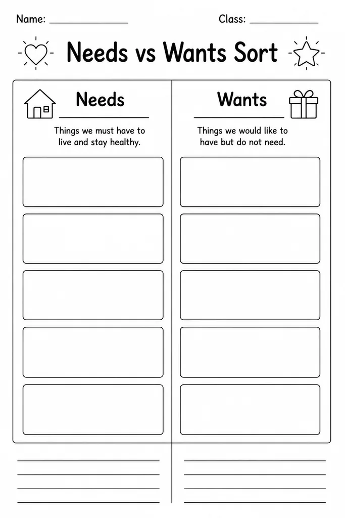
Needs vs Wants Sort
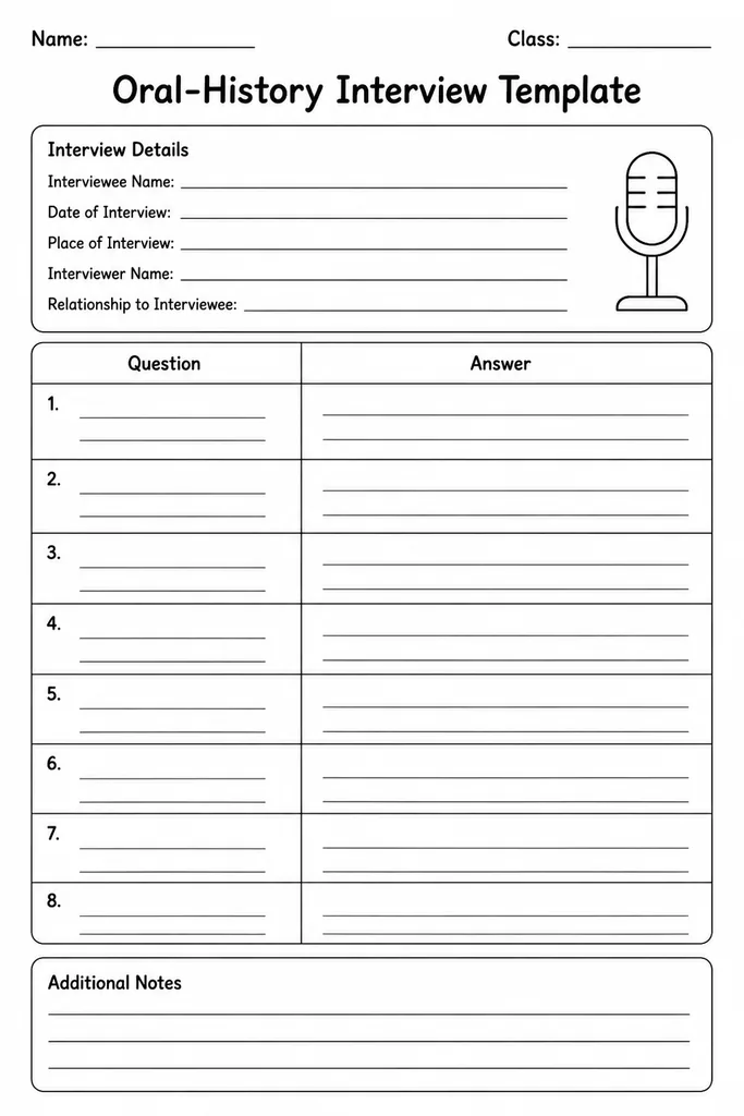
Oral-History Interview Template
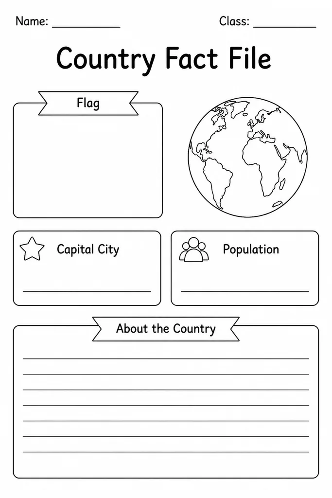
Country Fact File
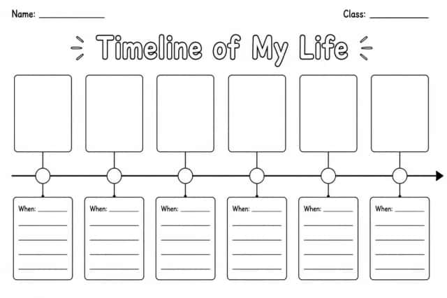
Timeline of My Life
Blank World Map