Printable template
Blank Continents Map
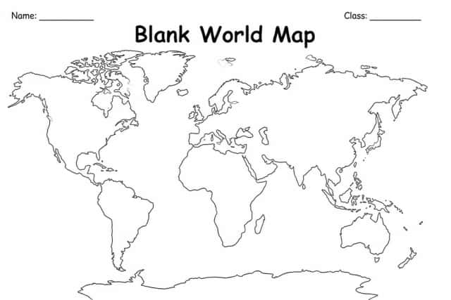
Continents outline, unlabelled.
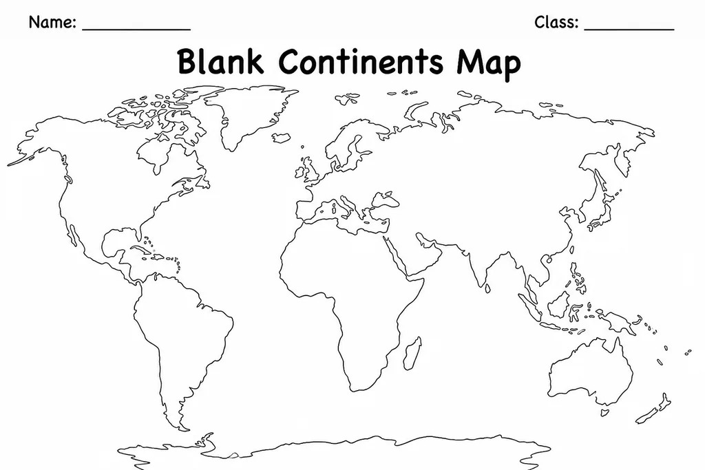
The Blank Continents Map is a clean world outline showing all seven continents as unlabelled shapes on a simple equirectangular projection. Students in grades 1–6 use it to practise locating, naming, and colouring each continent without the distraction of pre-filled text. Teachers hand it out at the start of a geography unit so learners actively engage with the map rather than copying from one. Because every landmass is already drawn to scale, children can focus entirely on recognition and labelling. Parents find it equally useful for home revision — a quick Friday activity where kids label continents from memory and colour-code by hemisphere. The single-page format prints clearly in black and white and can be reused inside a page protector with dry-erase markers, making it a durable classroom resource across the whole school year.
Learning objectives
- Identify and name all seven continents by location
- Distinguish continents from oceans on a world map
- Practise correct spelling of continent names
- Build spatial awareness of relative continent size
- Connect physical geography to cultural and social studies topics
- Develop independent map-reading confidence
How to use this template
- Download the free PDF and print one copy per student on standard A4 or letter paper.
- Ask students to study a reference map briefly, then set it aside.
- Have students write the name of each continent inside or beside its outline.
- Add colour coding — one colour per continent or one per hemisphere.
- Laminate or slip into a page protector to reuse with dry-erase markers.
Classroom & home ideas
- Use as a pre-assessment at the start of a world geography unit to gauge prior knowledge.
- Play a timed labelling challenge — who can correctly name all seven continents first?
- Have students add three facts inside each continent as a research consolidation activity.
- Pair with a globe to compare flat-map distortion versus spherical representation.
- Send home for a family quiz night where parents and children label continents together.
Skills practised
Frequently asked questions
Does the map include oceans or just continents?
The template shows continent outlines only. Ocean areas are left blank so students can optionally label major oceans as an extension task.
Is Antarctica included on the map?
Yes, Antarctica is included as the seventh continent at the bottom of the projection, matching standard world geography curricula.
Can I use this with a dry-erase marker instead of printing multiple copies?
Absolutely. Laminate the printed sheet or slip it into a clear page protector and it works perfectly with dry-erase markers for repeated use.
What grade level is this most suitable for?
The template works well from grade 1 (teacher-guided labelling) through grade 6 (independent research and annotation). Adjust expectations to suit your class.
Likes & comments
See what other teachers think and share a helpful note.
Create more worksheets in our Worksheet Studio
Generate fresh worksheets for any grade, topic, and language — free.
Open the Worksheet StudioRelated worksheets
History Timeline Template
Make-Your-Own Map Grid
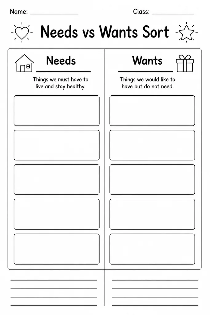
Needs vs Wants Sort
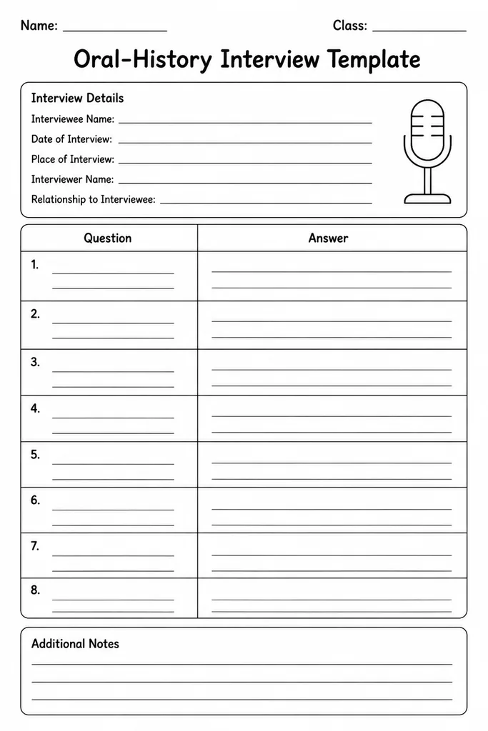
Oral-History Interview Template
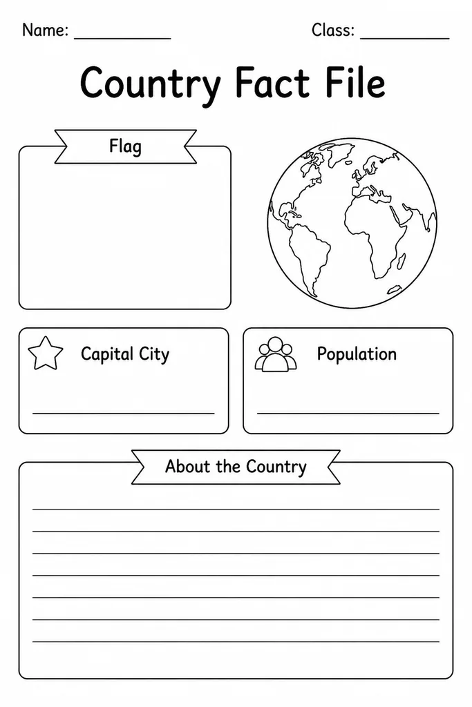
Country Fact File
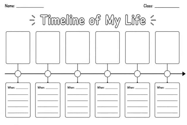
Timeline of My Life
Blank World Map