KiwiBee printable
Identify topographic maps
Free printable Grade 4 science worksheet for "Identify topographic maps" — practice maps and landforms. No-prep, print or assign online.
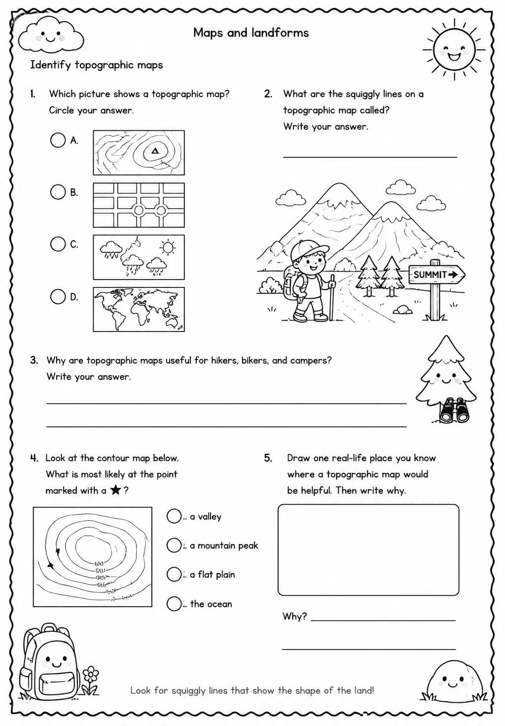
Grade 4 students explore topographic maps in this Earth and Space Science worksheet, learning how contour lines, elevation markers, and map symbols represent the three-dimensional shape of Earth's surface in two dimensions. Teachers can use it during a maps and landforms unit to build spatial reasoning and map-reading skills that connect classroom learning to real geography. Understanding topographic maps prepares students for more complex Earth science and geography work ahead.
Learning objectives
- Identify key features of a topographic map, including contour lines and elevation markers
- Explain how a topographic map represents the three-dimensional shape of land on a flat surface
- Interpret topographic map information to describe the landforms in a given area
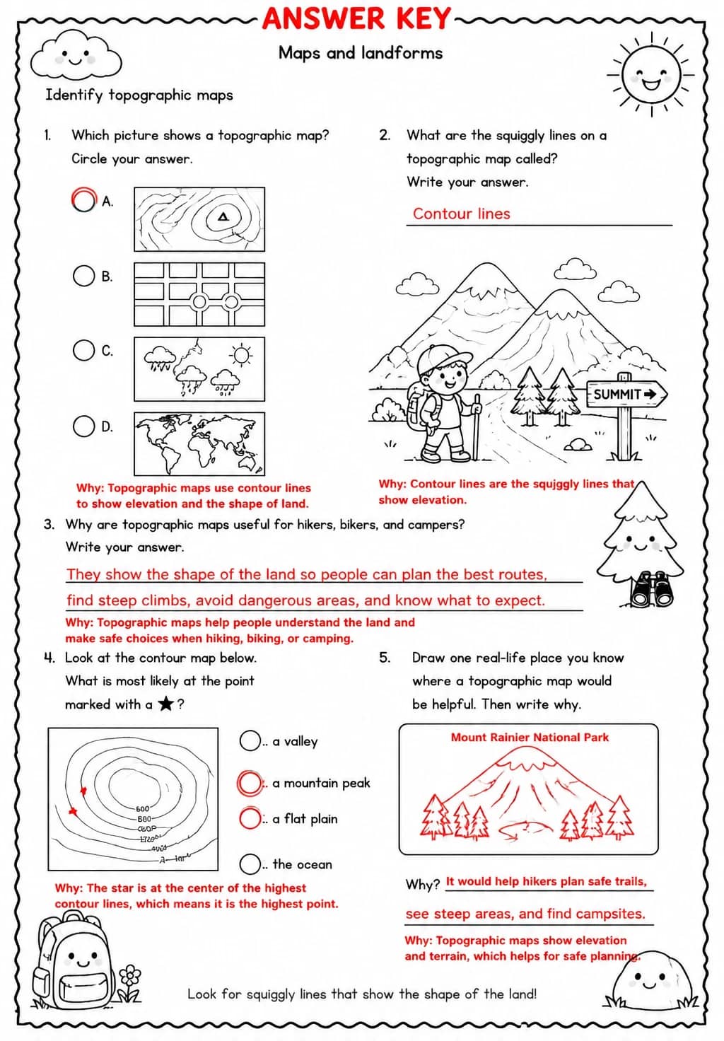
Answer Key
How to use this worksheet
- Select “Sign in to download free”, then sign in with Google or email to get the PDF from KiwiBee Printables.
- Print at home or in class for Grade 4; it's no-prep, with no extra materials needed.
- Use the included answer key to mark it in seconds.
Likes & comments
See what other teachers think and share a helpful note.
Create more worksheets in our Worksheet Studio
Generate fresh worksheets for any grade, topic, and language — free.
Open the Worksheet StudioRelated worksheets
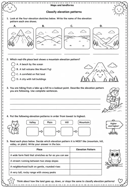
Classify elevation patterns
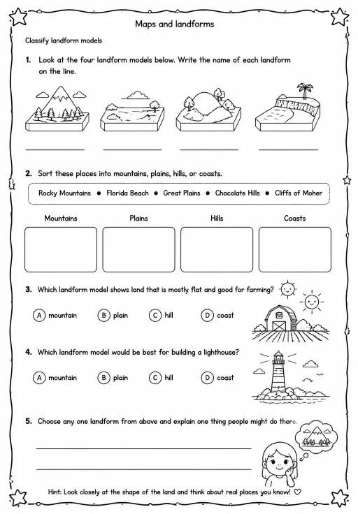
Classify landform models
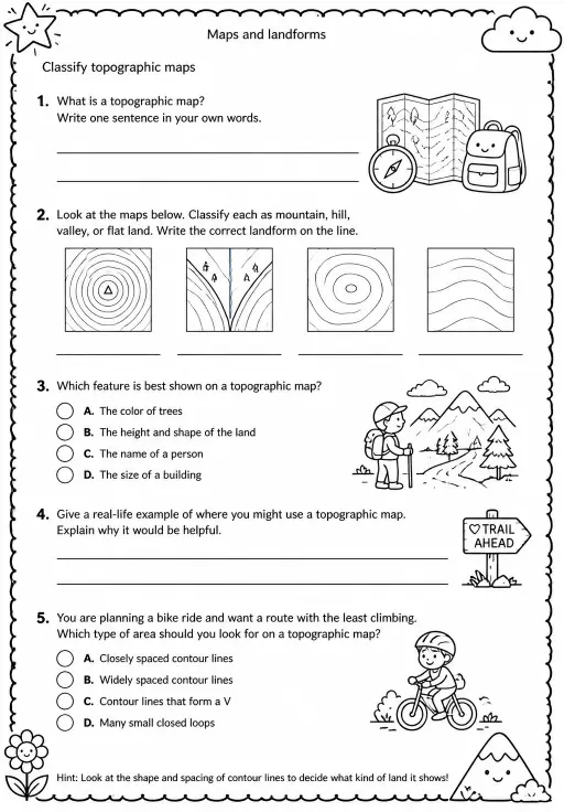
Classify topographic maps
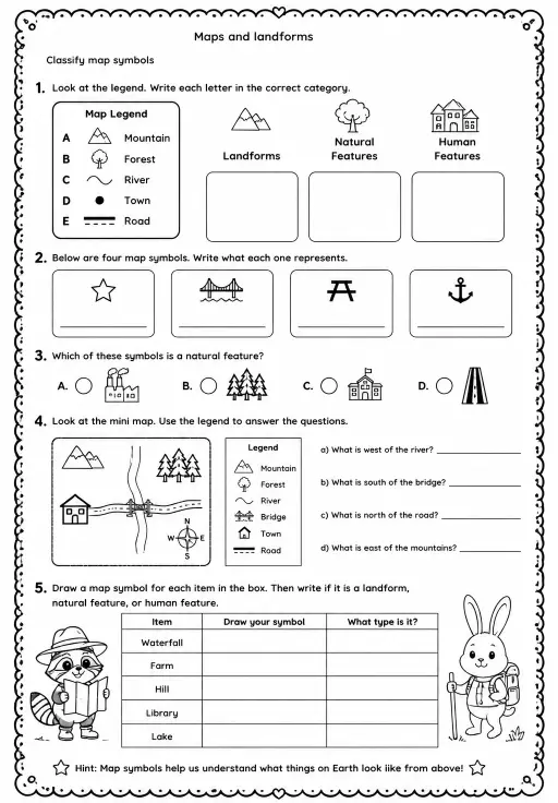
Classify map symbols
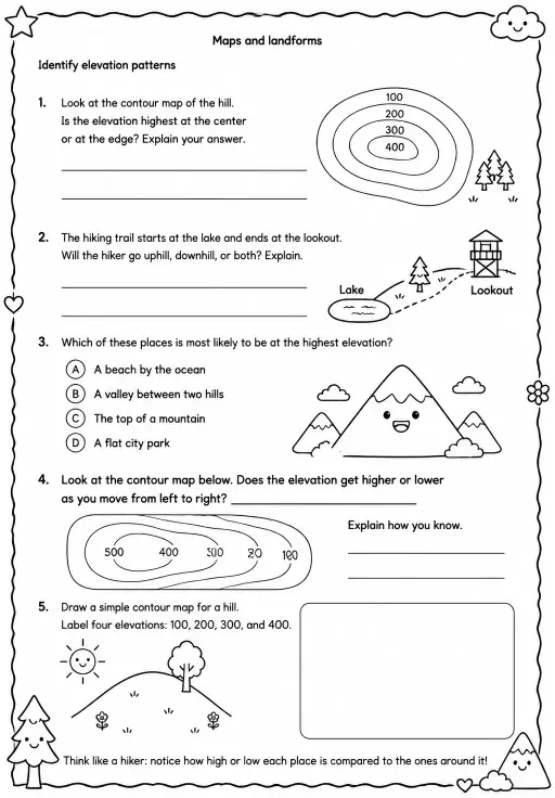
Identify elevation patterns
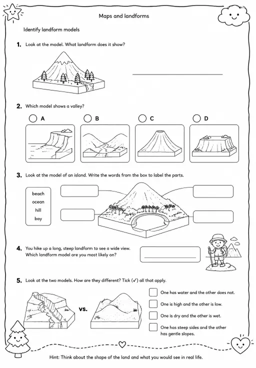
Identify landform models
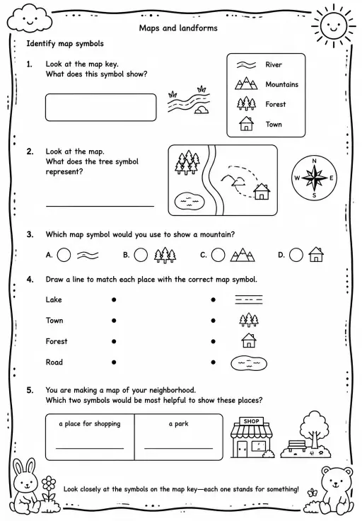
Identify map symbols
 For big organisations
 For schools
 For centers
 For team leaders
 For teachers
 AI and resources
 Printable worksheets
 Interactive simulations
 Teacher tools
 AI studio
 Ideas and research