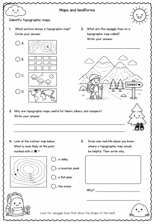
Identify topographic maps
Worksheets
hard
Ages 9–10
——
KiwiBee uses optional Google Analytics, Google Ads, and Meta Pixel cookies to understand adult visitors, measure completed sign-ups, and improve campaigns. Essential cookies always stay on. OpenAI’s ChatGPT Ads Pixel also measures page views and completed enquiries after advertising consent, and may use hashed contact details for matching. Privacy policy

Fourth graders develop spatial reasoning and Earth science knowledge in this worksheet on elevation patterns, where they practice classifying landscape features based on height and the patterns visible on topographic maps. Teachers can use it during a maps and landforms unit to move students from simply reading a map to interpreting what the elevation data reveals about a region. The classification task strengthens analytical thinking alongside geography content.
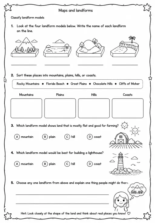
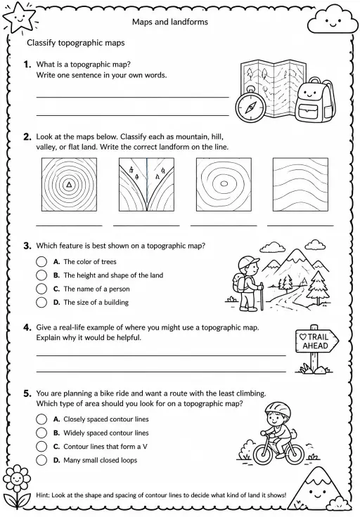
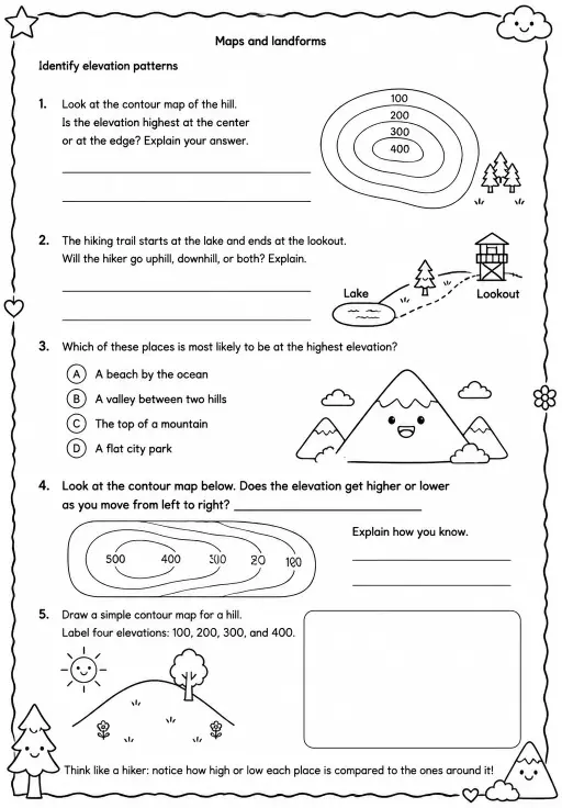
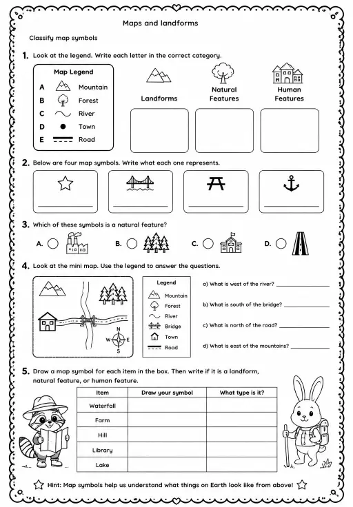
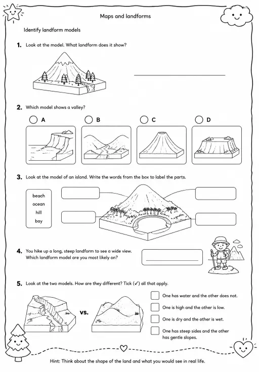
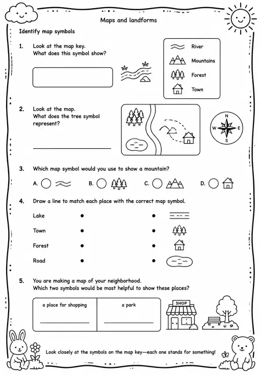
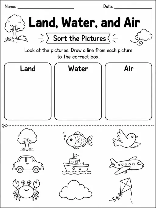
See what other teachers think and share a helpful note.
Generate a fresh worksheet for any grade, topic and language. Free.
 Home
 All solutions
 Pricing
 About us
 KiwiBee for Non-profits
 Events & webinars
 For big organisations
 For schools
 For centers
 For team leaders
 For teachers
 AI and resources
 Resources
 Printable worksheets
 Lesson Packs
 Interactive simulations
 Teacher tools
 AI studio
 Ideas and research