KiwiBee printable
Classify topographic maps
Free printable Grade 4 science worksheet for "Classify topographic maps" — practice maps and landforms. No-prep, print or assign online.
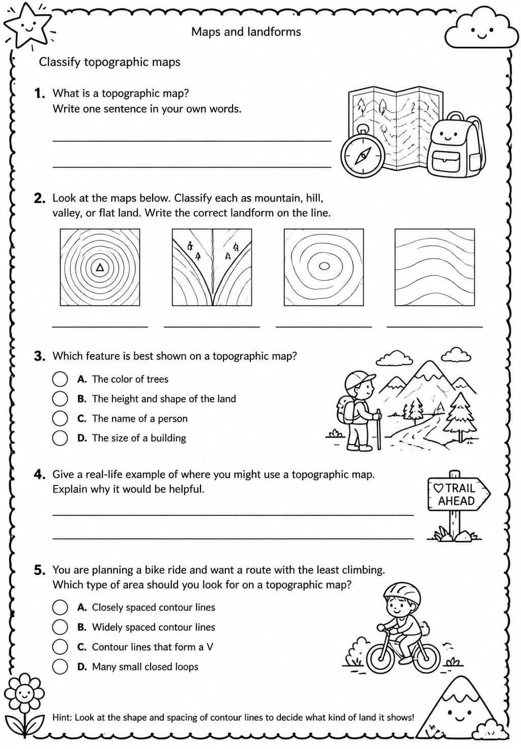
Grade 4 students classify topographic maps by reading contour lines, interpreting elevation changes, and identifying landforms in this Earth and Space Science worksheet on Maps and Landforms. Teachers can use it after a map-reading introduction as a guided practice task or a small-group discussion activity where students compare different topographic features. The worksheet builds spatial reasoning and geographic data literacy within the Grade 4 Earth Science curriculum.
Learning objectives
- Read contour lines on a topographic map to determine elevation and landform type
- Classify landforms shown on a topographic map using key geographic terminology
- Compare elevation patterns on different sections of a topographic map
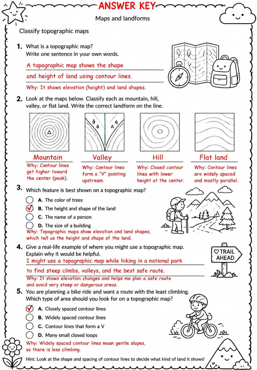
Answer Key
How to use this worksheet
- Select “Sign in to download free”, then sign in with Google or email to get the PDF from KiwiBee Printables.
- Print at home or in class for Grade 4; it's no-prep, with no extra materials needed.
- Use the included answer key to mark it in seconds.
Likes & comments
See what other teachers think and share a helpful note.
Create more worksheets in our Worksheet Studio
Generate fresh worksheets for any grade, topic, and language — free.
Open the Worksheet StudioRelated worksheets
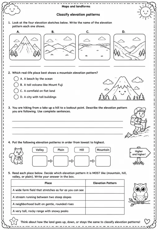
Classify elevation patterns
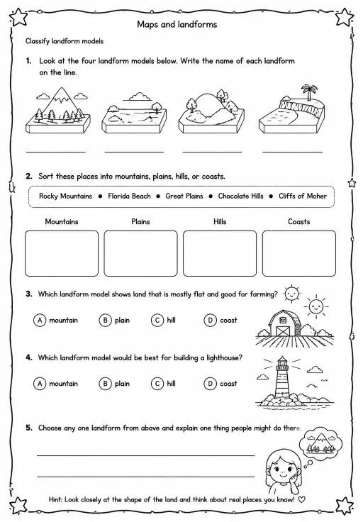
Classify landform models
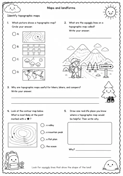
Identify topographic maps
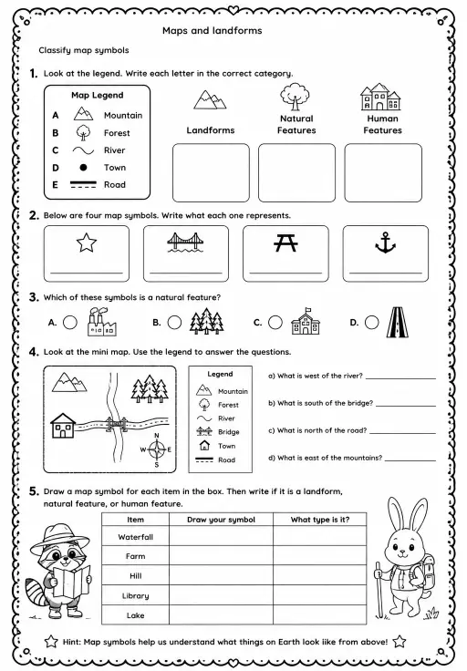
Classify map symbols
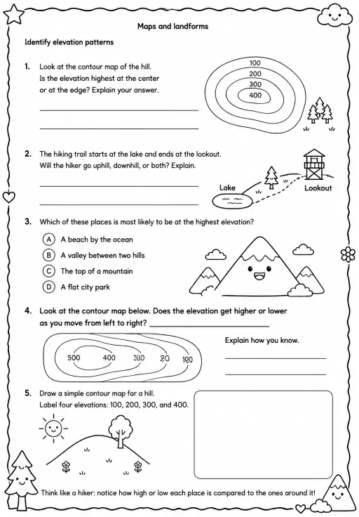
Identify elevation patterns
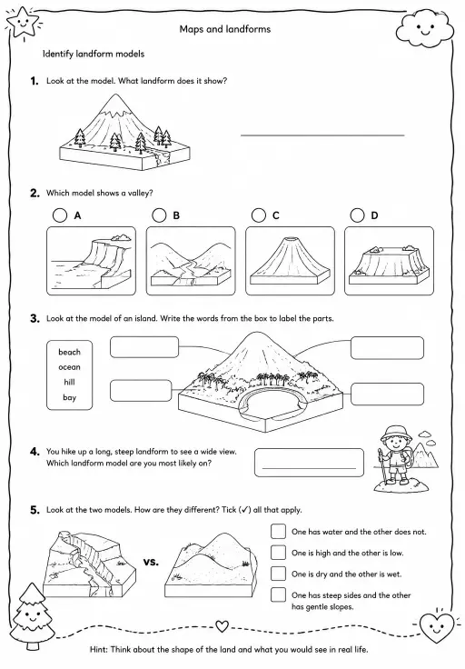
Identify landform models
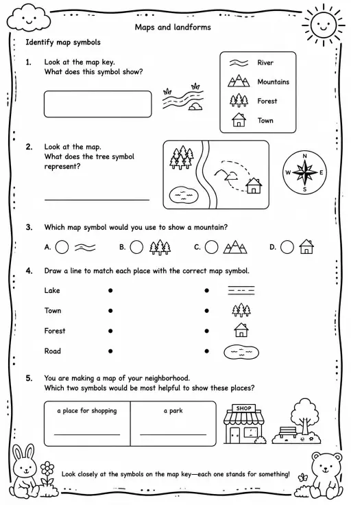
Identify map symbols
 For big organisations
 For schools
 For centers
 For team leaders
 For teachers
 AI and resources
 Printable worksheets
 Interactive simulations
 Teacher tools
 AI studio
 Ideas and research