
River Erosion Sandbox
- Ciencias de la Tierra
Comentarios
Relacionado con esta simulación
Elegidos por su significado entre juegos, fichas, simulaciones, herramientas para docentes y vídeos.
Sobre esta simulación
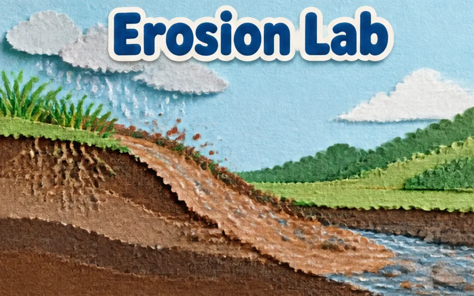
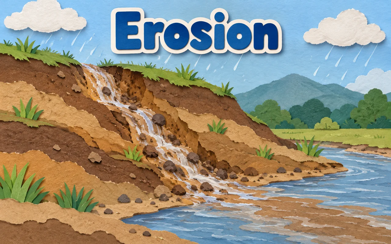
Students choose Rain, Dig or Build and drag over the terrain to pour water, cut a channel or raise earth. Water flows to lower ground, picks up soil and drops it where it slows. Sliders set brush size and soil softness, a toggle turns steady rainfall on or off, and Fresh terrain resets the land. Readouts show water on land, sediment in the water, soil removed and the deepest channel. It helps students see erosion, transport and deposition in a sped-up model.
Qué pueden explorar los alumnos
- Select Rain and drag over the high ground, then watch streams form and run downhill.
- Switch to Dig and cut a channel to steer the water to a new route.
- Use Build to make a dam of earth and see where the water goes instead.
- Raise Soil softness and compare how much Soil removed grows against the default.
- Turn Steady rainfall off to see how the landscape settles when the rain stops.
- Press Fresh terrain and repeat with a different tool to compare the valleys.
Objetivos de aprendizaje
- 1Describe how running water erodes, transports and deposits sediment.
- 2Predict how slope and flow speed affect where soil is removed or dropped.
- 3Explain how steep channels cut valleys and slow water builds deposits.
- 4Test how changing the landscape changes the path of a river.
Preguntas frecuentes de los docentes
Is it free?
Yes. Students and teachers can use the River Erosion Sandbox at no cost, with no registration, in any up-to-date browser on a computer, tablet, phone or whiteboard.
Why does water carry more soil on steep ground?
Steeper ground makes water flow faster, and faster water has more energy to pick up and carry sediment. Where the current slows on flat land, the sediment settles out.
How do I use the sandbox?
Choose Rain, Dig or Build from the Tool list, then drag over the terrain. Use Brush size for wider strokes and Fresh terrain to start over.
Is the time scale real?
No. Time is greatly sped up and not calibrated to real erosion rates. Real river valleys take thousands to millions of years to form.
Insertar esta simulación
Colócala en tu LMS, blog o sitio de clase, gratis.
<iframe src="https://kiwibee.io/es/simulations/river-erosion-sandbox-3d-simulation/embed" title="River Erosion Sandbox | KiwiBee" loading="lazy" allowfullscreen style="width:100%;height:min(70vh,620px);min-height:420px;border:0;border-radius:16px"></iframe>Estándares curriculares
Cambridge
- 6ESc.01Describe the rock cycle and the formation of metamorphic, igneous and sedimentary rocks in terms of solidification, erosion, sedimentation, burial, metamorphism and meltingCambridge Primary Science (0097) — Stage 6 › Earth and Space › Cycles on Earth
Learning objectives © UCLES (Cambridge University Press & Assessment), quoted with attribution.
Lleva la ciencia interactiva a tu aula
El espacio de trabajo gratuito para docentes de KiwiBee reúne en un solo lugar la planificación de clases, las fichas, las herramientas de aula y el libro de calificaciones.
Empieza gratis y crea tu primera claseMira KiwiBee en YouTube
Vídeos cortos de KiwiBee para docentes y centros. Suscríbete o sigue a KiwiBee donde estés.
 Inicio
 Todas las soluciones
 Precios
 Quiénes somos
 KiwiBee para organizaciones sin fines de lucro
 Eventos y seminarios web
 Para grandes organizaciones
 Para escuelas
 Para centros de aprendizaje
 Para líderes de equipo
 Para docentes
 Recursos
 Hojas de trabajo imprimibles
 Simulaciones interactivas
 Herramientas para docentes
 Ideas e investigación


