KiwiBee printable
Longitude Map Skills Infographic
This Longitude infographic for Map Skills focuses on Longitude lines measure how far east or west a place is from the Prime Meridian., KEY FACTS, LONGITUDE LINES MEET AT THE POLES, All longitude lines converge at the North and South Poles. and 0° LONGITUDE IS THE PRIME MERIDIAN. The image uses short OCR-extracted labels and reference text from the poster itself, making it ready for classroom display, quick review, learning centers, and independent student study.
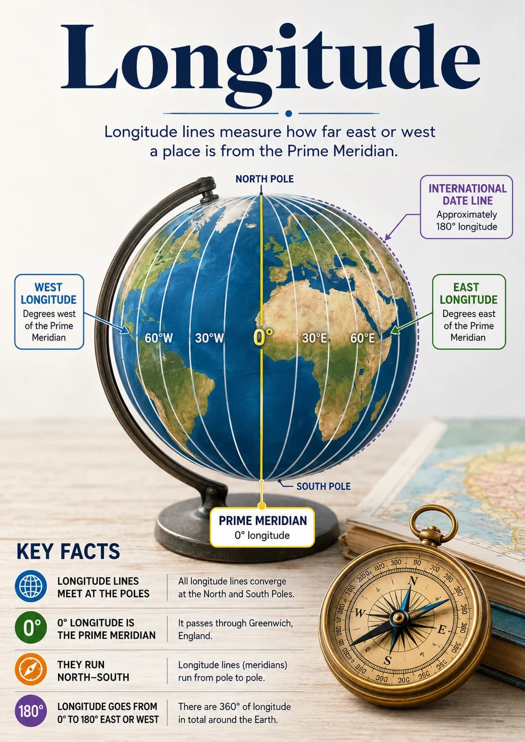
This Longitude infographic for Map Skills focuses on Longitude lines measure how far east or west a place is from the Prime Meridian., KEY FACTS, LONGITUDE LINES MEET AT THE POLES, All longitude lines converge at the North and South Poles. and 0° LONGITUDE IS THE PRIME MERIDIAN. The image uses short OCR-extracted labels and reference text from the poster itself, making it ready for classroom display, quick review, learning centers, and independent student study. OCR content highlights: Longitude lines measure how far east or west a place is from the Prime Meridian., KEY FACTS, LONGITUDE LINES MEET AT THE POLES, All longitude lines converge at the North and South Poles. and 0° LONGITUDE IS THE PRIME MERIDIAN. Visual style: high-contrast accessibility poster with large labels, bold shapes, and simple color coding.
Learning objectives
- Recognize key ideas and labels for Longitude.
- Review Longitude lines measure how far east or west a place is from the Prime Meridian., KEY FACTS, LONGITUDE LINES MEET AT THE POLES, All longitude lines converge at the North and South Poles. and 0° LONGITUDE IS THE PRIME MERIDIAN as a visual classroom reference for Map Skills.
- Support quick review, discussion, centers, or independent study.
How to use this worksheet
- Click “Download Worksheet” and sign in with Google or email to get the WEBP, IMAGE instantly.
- Print at home or in class for grades-3-8; it's no-prep, with no extra materials needed.
- Hand it out as classwork, homework, or a quick warm-up.
Frequently asked questions
Is the “Longitude Map Skills Infographic” worksheet free?
Yes. “Longitude Map Skills Infographic” is a free printable social-studies worksheet. Sign in with Google or email to download the WEBP, IMAGE instantly.
What grade or age is this social-studies worksheet for?
It's designed for grades-3-8 (ages 8–14), covering Longitude.
Do I need to prep anything?
No. It's a no-prep, print-and-go worksheet — just download and hand it out.
Likes & comments
See what other teachers think and share a helpful note.
Create more worksheets in our Worksheet Studio
Generate fresh worksheets for any grade, topic, and language — free.
Open the Worksheet StudioYou might also like
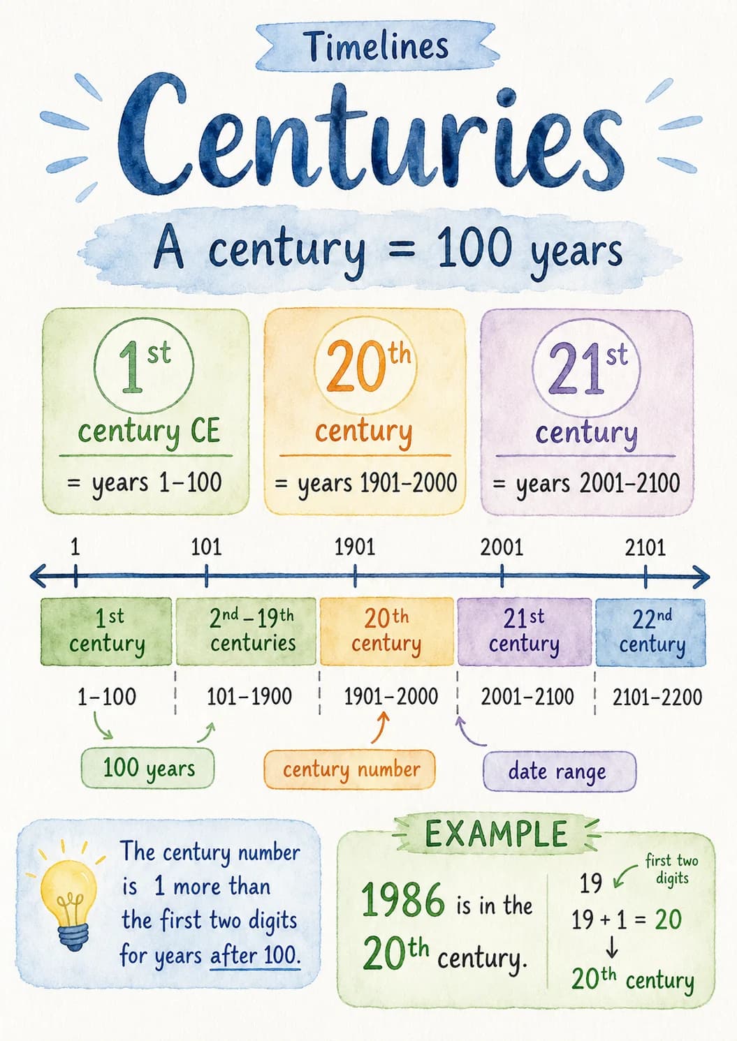
Centuries Timelines Infographic
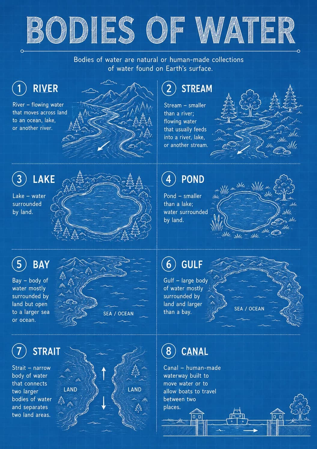
Bodies of Water Geography Infographic
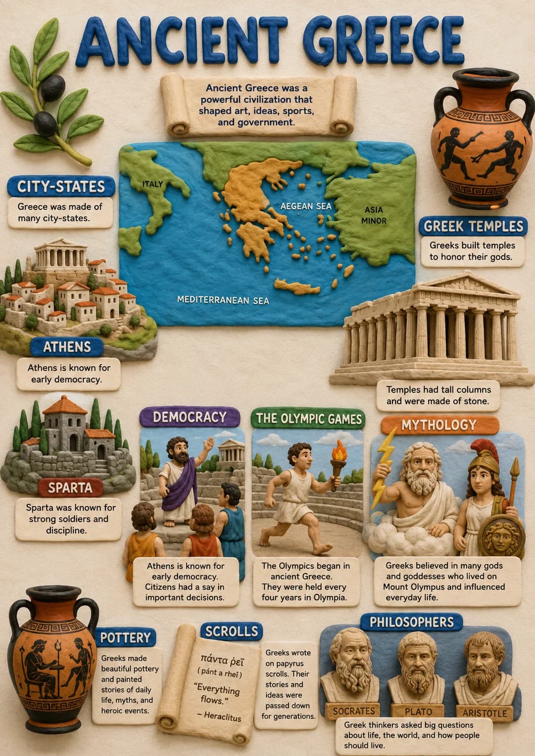
Ancient Greece Civilizations Infographic
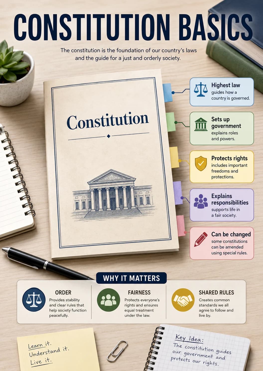
Constitution Basics Civics Infographic
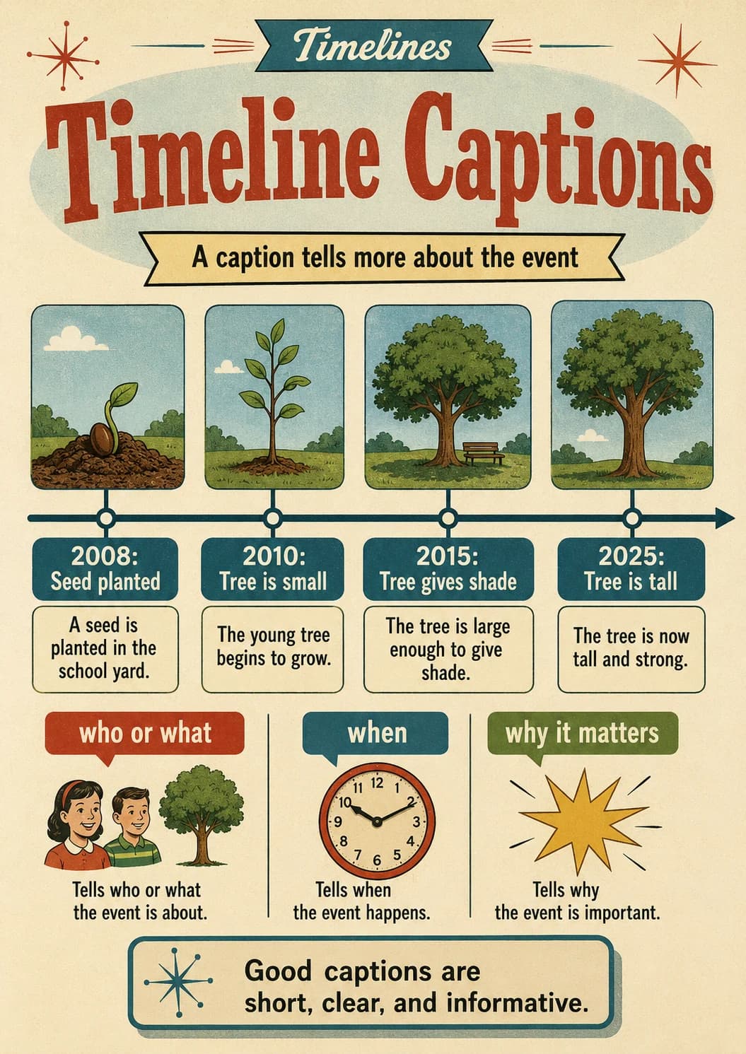
Timelines Infographic